SkyFi Partners with SynMax to Provide Analytic Capabilities
AUSTIN - When it comes to satellite imagery, the team at SynMax is among the most innovative at fusing data from multiple remote sensors to extract and produce solution-driven insights. Founded in 2021, SynMax combines remote-sensing imagery with other datasets to deliver novel business intelligence solutions to its rapidly growing customer base. SkyFi is proud to announce SynMax as a partner in our mission to build a platform that connects everyone to the endless benefits of Earth Observation (EO) data.
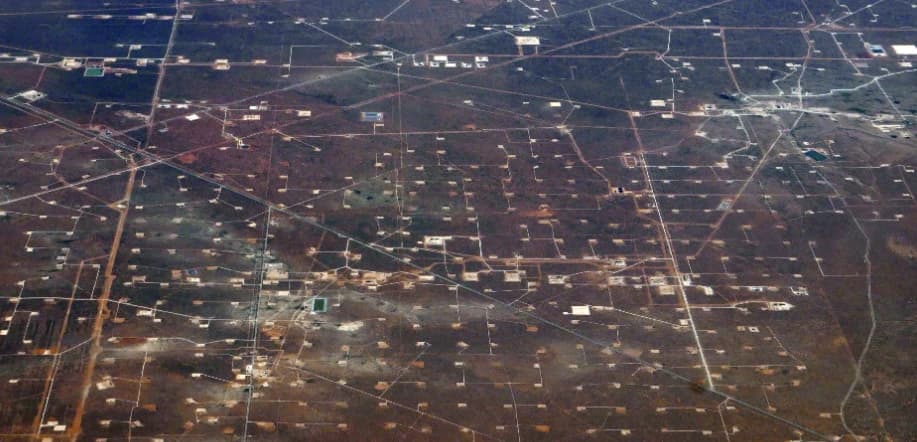
The idea that became SynMax began as a machine learning algorithm for oil and gas trading focused on observing fracking crew activity with satellite imagery. While working as a research analyst at Skylar Capital, Eric Anderson, now CTO at SynMax, taught himself programming, learned all he could about satellite data, and built a team around the model he had developed. At SynMax, Eric and his team built a novel fracking intelligence model called Hyperion which was unlike anything his team had built before. To launch SynMax, Eric joined forces with now-CEO, Brendan Moore, who was previously Head of Intelligence at the National Crime Agency (NCA), UK’s national law enforcement agency. With Brendan’s expertise, SynMax began fusing remote-sensing data with multiple other datasets to identify correlations and draw conclusions that would otherwise be unattainable or too time-consuming with traditional analysis methods. SynMax team members bring additional in-house knowledge as data scientists and remote sensing specialists working alongside US and UK intelligence professionals from various government backgrounds.
Observing the success they had tracking US fracking crew activity, SynMax quickly realized there was enormous untapped potential in commercial satellite data and began developing additional analytics capabilities. SynMax decided to build a software solution to track “dark ships” to mitigate and prevent illegal maritime activities such as illegal fishing. Dark ships, also known as ghost ships, are vessels that have turned off their Automatic Identification System (AIS) in order to “go dark”, attempting to avoid detection by public monitoring systems. Using remote-sensing data, SynMax developed capabilities to track, monitor, and report these dark ships. And although SynMax is currently focused on fracking models and maritime data, the ultimate goal is to provide a wide range of solutions to as many individuals and businesses as possible. That’s where their partnership with SkyFi comes in. “SkyFi will allow us to get our products out to a much broader market, helping us to support customers across multiple sectors. It’s often impossible to predict all possible uses for multi-functional geospatial intelligence tools and SkyFi allows the customer to find them, rather than us finding the customer,” says Brendan.
Not only will this partnership enable SynMax to provide SkyFi users with an added layer of analytics capabilities, SkyFi’s partner satellites will deliver remote-sensing images to the SynMax team to enable them to build their next generation of products. According to SkyFi COO, Marc Horowitz, “this partnership is a two-way street that will greatly benefit both partners, along with businesses and the everyday consumer.”
In the future, after ordering a new or existing image, SkyFi customers will have access to SynMax’s machine learning algorithms all within the SkyFi application. This seamless analytics integration, referred to as the “intelligence layer” by Aravind Ravichandran of TerraWatch Space, is the first of many as SkyFi continues to build out its analytics partner network.
Do you know an analytics provider that should be on the SkyFi platform? Please reach out to [email protected] to partner with SkyFi!


