Buy Satellite & Geospatial Data
Market-Low Transparent Pricing for Commercial Satellite Imaging
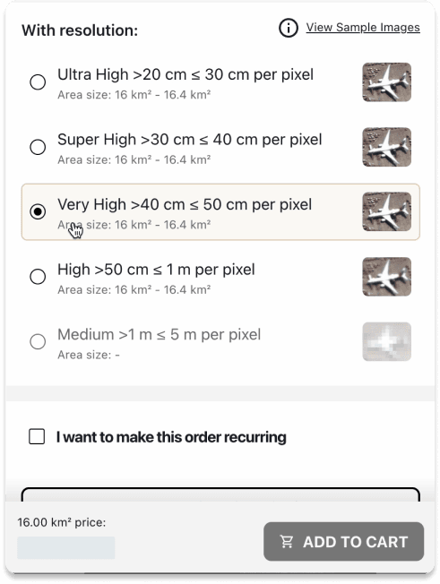
How Our Pricing Works
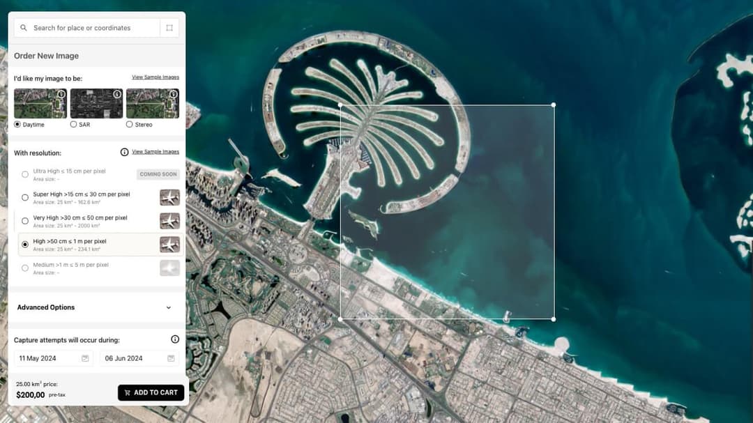
SkyFi removes the friction and opacity traditionally associated with buying satellite imagery. Instead of negotiating quotes or waiting days for pricing, SkyFi shows you the satellite imagery price upfront based on your exact order parameters.
You choose:
- Area size
- Resolution
- Sensor type
- Archive or new tasking
We calculate the price instantly so you can order with confidence.
Transparent Pricing
View the full satellite imagery price before you place an order, calculated instantly based on your area, resolution, and sensor selection, with no quotes, negotiations, or hidden fees.
No contracts
Purchase satellite photos and geospatial data on demand, whether you need a single dataset or recurring access, without subscriptions, long-term commitments, or minimum spend requirements.
Multi-sensor access
Buy commercial satellite imagery and geospatial data across optical, SAR, aerial, and analytic layers through one unified platform, with consistent pricing logic and a streamlined ordering experience.
Instant Ordering
Order high resolution satellite imagery and geospatial datasets in minutes through a self-service workflow, with fast delivery options that integrate directly into GIS tools, analytics pipelines, or cloud environments.
Purchase Satellite Imagery
Starting at $15
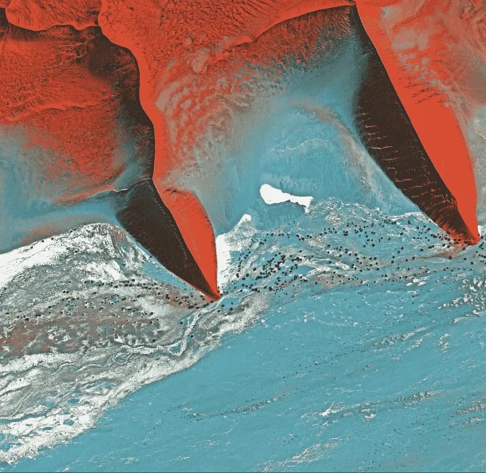
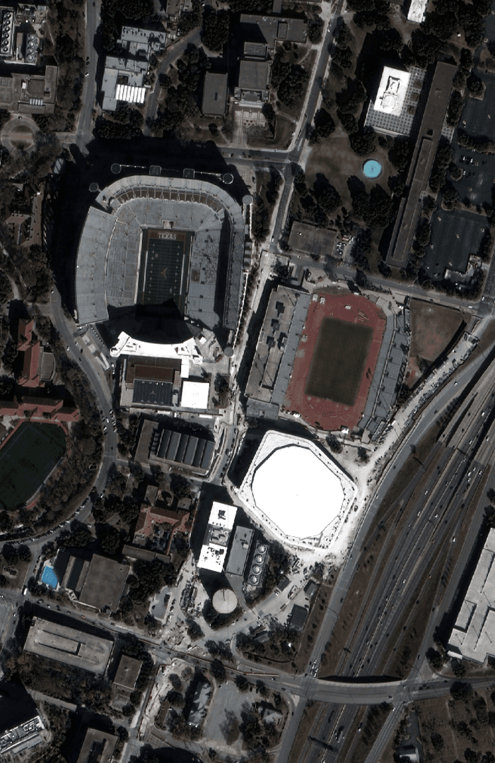
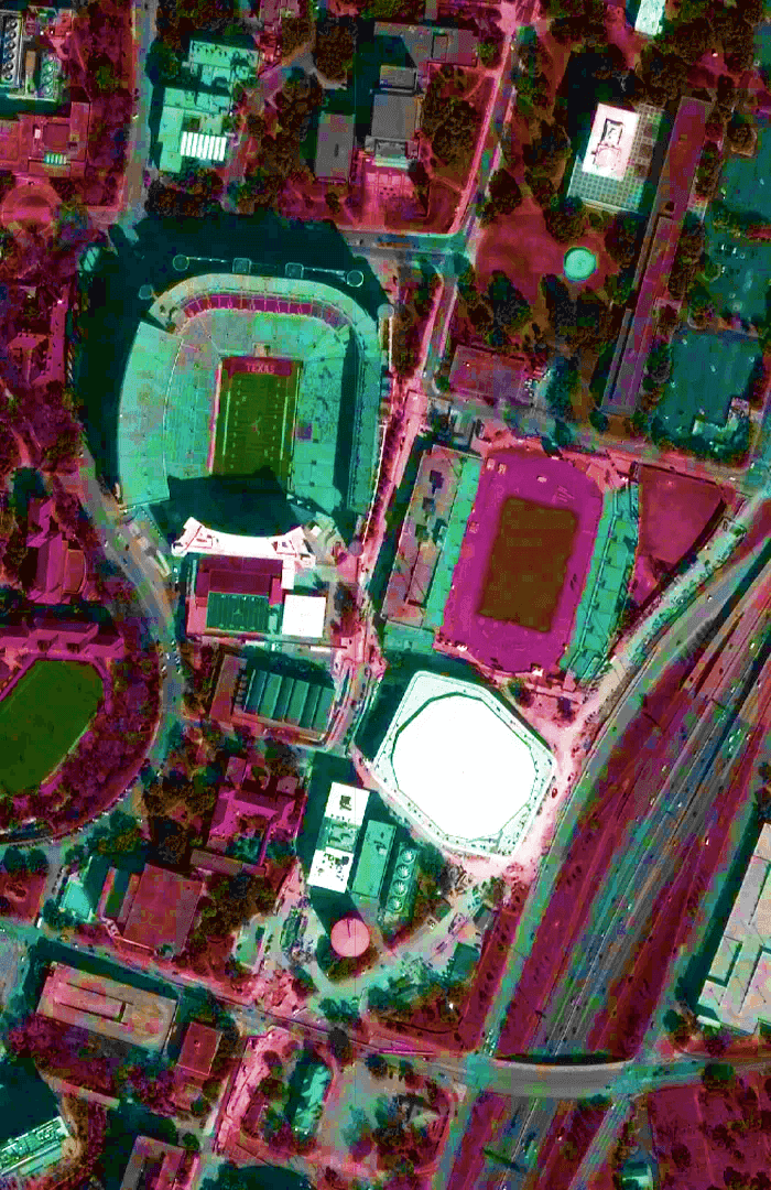
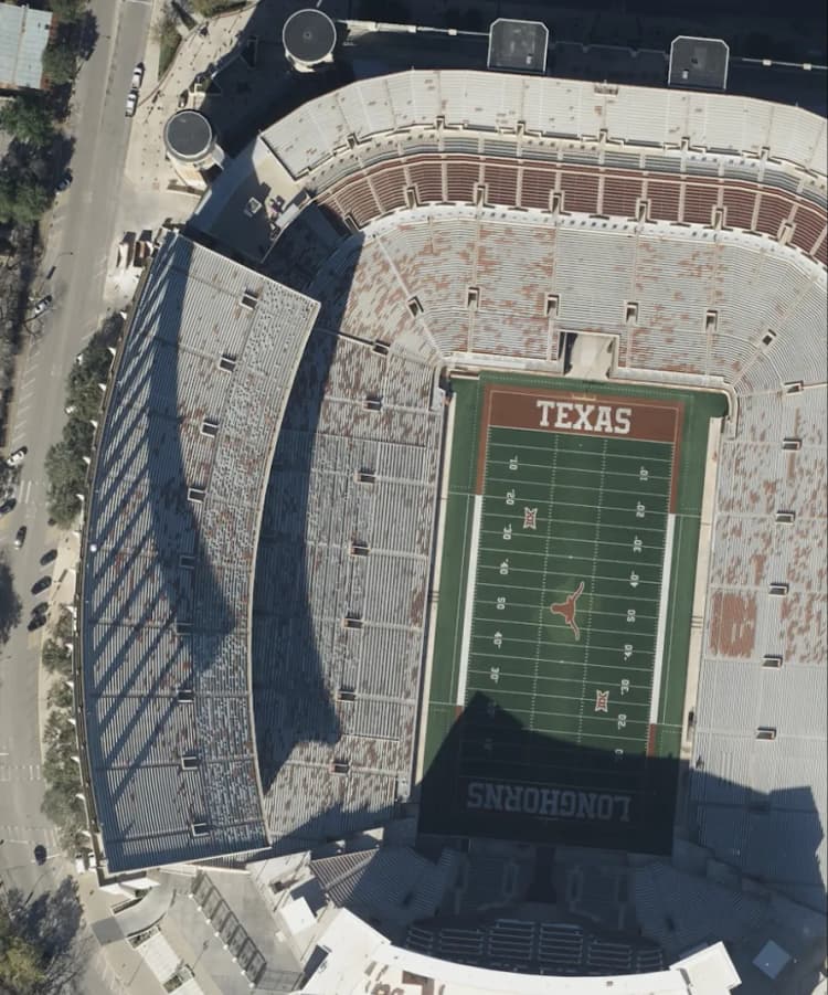
Optical Satellite Imagery
High-resolution, photo-realistic satellite imagery in the visible spectrum, commonly used for mapping, infrastructure monitoring, environmental analysis, and commercial decision-making.
Starting at $450
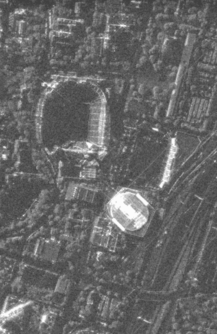
Synthetic Aperture Radar (SAR) Imagery
All-weather, day-night satellite imagery generated using radar signals, ideal for monitoring through clouds, smoke, and darkness in maritime, disaster, and infrastructure applications.
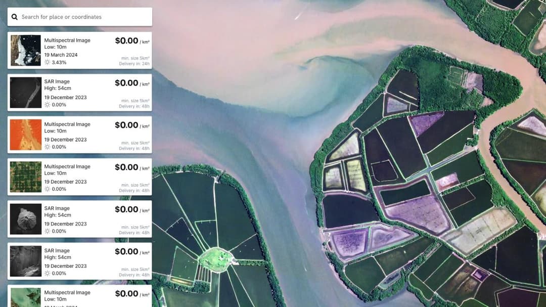
Free
Multispectral Imagery
Satellite imagery captured across visible and infrared bands, enabling geospatial analysis such as vegetation health, land use classification, and environmental change detection.
STARTING AT $35
Aerial Imagery
Ultra-high-resolution geospatial data collected from aircraft, providing detailed imagery for localized mapping, asset inspection, and precision planning.
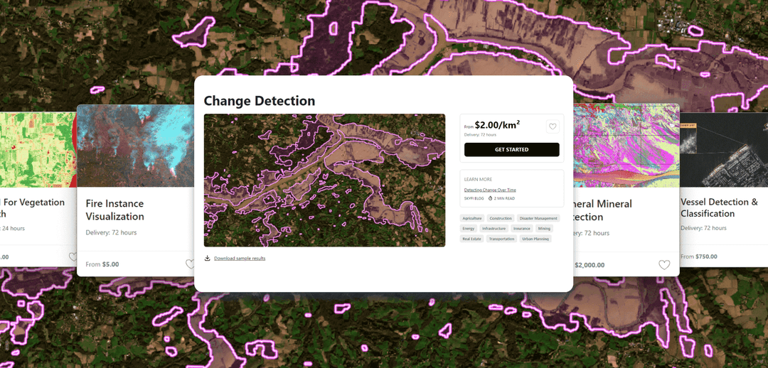
Geospatial Analytics
SkyFi is dedicated to expanding access to advanced analytics derived from high-resolution spatial imagery, providing precise and timely insights through cutting-edge satellite technology.
Swipe to see more
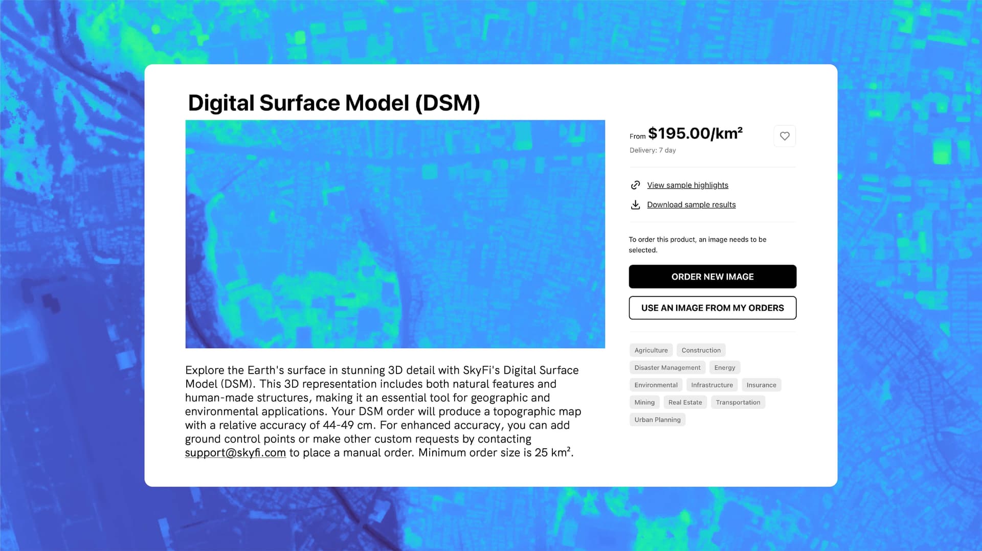
Digital Surface Model (DSM)
Explore a highly accurate 3D representation of the Earth's surface, capturing both natural and human-made features. This model supports detailed geographic and environmental analysis, providing relative accuracy for precise applications.
Only Pay for What You Need with Lowest-in-Market, Transparent Pricing
| Single Archive Image | Single Tasking Image |
Starting at $ 15 *High-resolution optical image | Starting at $ 200 *High-resolution optical image |
Comprehensive Coverage
Commercial and open data options available
High Precision & Resolution
Ideal for detailed analysis and strategic planning
Cost-Effective Accessibility
Meets any budget with low minimum order sizes
Diverse Data Types
From optical to SAR, and multispectral to stereo, find the right tools for your job
All-in-one Platform
Get the data and analytics you need in one place.
FAQs
Find clear answers to common questions about satellite imagery pricing, minimum order requirements, sensor options, and how to buy commercial satellite imagery on SkyFi.
More SkyFi Products
Starting at $5
Analytics
Transform raw images and datasets into real answers with SkyFi Analytics. Our platform delivers pivotal insights across industries with advanced tools like object detection, hyperspectral signature analysis, and commodity stockpile measurement, empowering you to optimize operations and strategic planning.
Starting at $15
Commercial Imagery
Task a satellite to capture an image in the future of your area of interest in just a few clicks, set up recurring orders, and purchase existing images from our vast archive of data.
Available for FREE
Open Data
SkyFi's open data program provides comprehensive, free satellite data to broaden analytics use cases and provide crucial data for agriculture, urban planning, and disaster management.
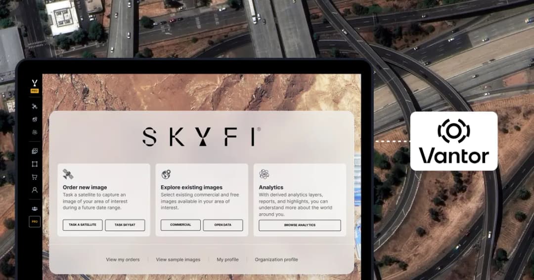
Vantor
On-demand access to Vantor’s WorldView constellation, global basemaps, and 3D terrain models directly on SkyFi. Task new imagery and explore the world in unmatched detail.

Vantor Connect
On-demand access to Vantor’s full constellation and 3D models through Vantor Connect, powered by SkyFi. Schedule new Vantor tasking at 30 cm or 50 cm resolution, browse decades of Vantor archive imagery, or order Vantor 3D models to measure and visualize change with unmatched clarity. Designed for mission-critical workflows that demand precision and speed.

Maritime AIS Data
Track global vessel activity with SkyFi’s unified Maritime AIS data. The platform merges satellite, terrestrial, and shipborne AIS feeds to deliver worldwide visibility, anomaly detection, and dark-ship tracking for security, logistics, and compliance missions.
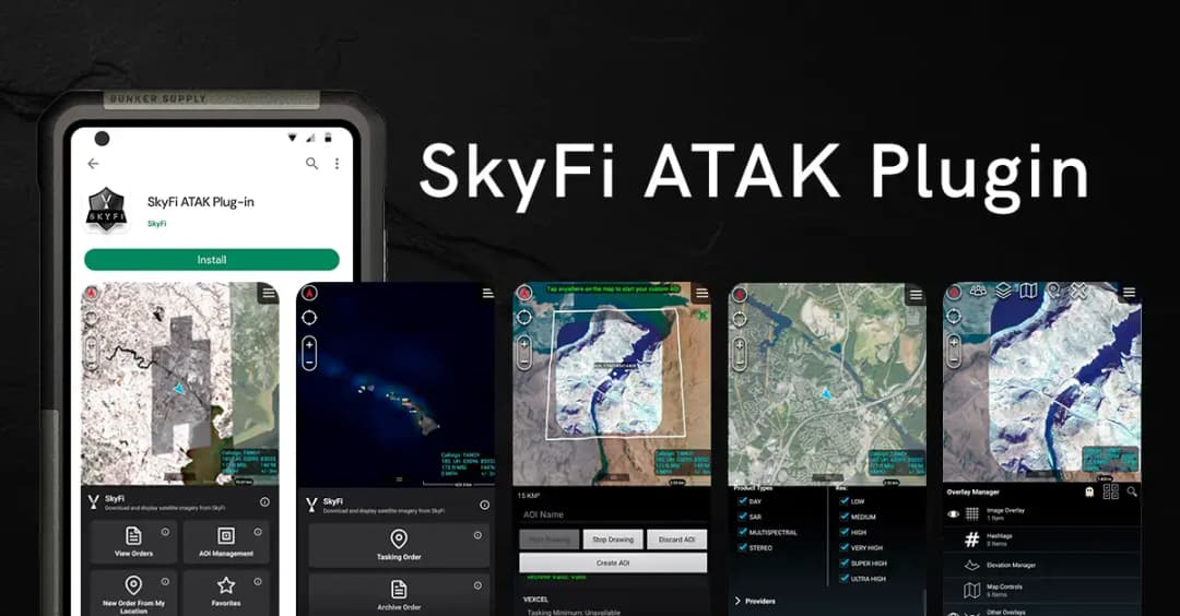
SkyFi Plugin for ATAK
Access satellite imagery with SkyFi's ATAK Plugin, which enables live tasking and analytics, giving field operators real-time situational awareness.

ICEYE US Direct
Get direct access to persistent monitoring with real-time SAR intelligence at your fingertips. Explore high-resolution Synthetic Aperture Radar (SAR) imagery on the new ICEYE US self-service platform powered by SkyFi, where you can search the extensive archive or task satellites to simplify acquisition and accelerate decision-making.

Planet Select
Experience rapid access to the Planet SkySat® constellation for both tasking and archive satellite imagery, powered by SkyFi’s infrastructure. Planet Select lets users monitor high-frequency optical data, order new SkySat captures, and analyze surface changes with ease, ideal for agriculture, infrastructure, and environmental intelligence at scale.