Applications of Satellite Imagery for Finance by TerraWatch Space
As the advancements in space technologies continue to decrease costs of access to space and enable the launch of hundreds of Earth observation satellites, the use of satellite imagery for the financial sector is poised to become mainstream. SkyFi is revolutionizing the financial sector with easy access to satellite imagery. There are several applications for satellite imagery relevant for the financial sector, but we expect the five use cases described below to fundamentally change the behavior of the industry in terms of their capacity to exploit the growth in the satellite imagery industry. The below summarizes the main applications.
1. Site Observations
Signals acquired by monitoring key areas of economic activity such as retail chains, factories and other industrial sites are crucial for gathering information that can serve as a competitive advantage to hedge funds and investment banks. Commercial satellite imagery allows to do precisely that - for instance, enabling the extrapolation of sales figures by monitoring changes in the trends in parking lots of retail chains and the prediction of manufacturing indices by observing the pollution from industrial sites. This alternative data source from satellites provides a means of gaining exclusive knowledge especially when coupled with additional in-house data.
2. Supply Chain Tracking
As the number of Earth observation satellites in orbit continues to grow, not only does the supply of data acquired increase, but near real-time data becomes increasingly available. Imagery captured over an area of interest can be delivered in a matter of minutes increasing the possibility of monitoring the global supply chain with minimal latency. From observing the state of shipping containers in ports to tracking the flow of goods across road, rail and air, the interpretation of satellite imagery provides unmatched intelligence for investors.
3. Commodity Monitoring
Hedge funds that bet on commodities such as crops, oil and metals can gain exclusive understanding of the state of production and stockpiles by using satellite imagery from the wide variety of sensors in orbit. For instance, agriculture commodities including specific crops such as wheat, soybeans, sugar, coffee, corn etc., can be monitored from space providing information on crop yields and harvesting trends, thanks to the archived imagery spanning across decades. Likewise, production outputs from mining and forestry operations can provide insights on metal ores and wood fiber respectively, the prices of which have a significant impact in the trading markets.

4. Energy Intelligence
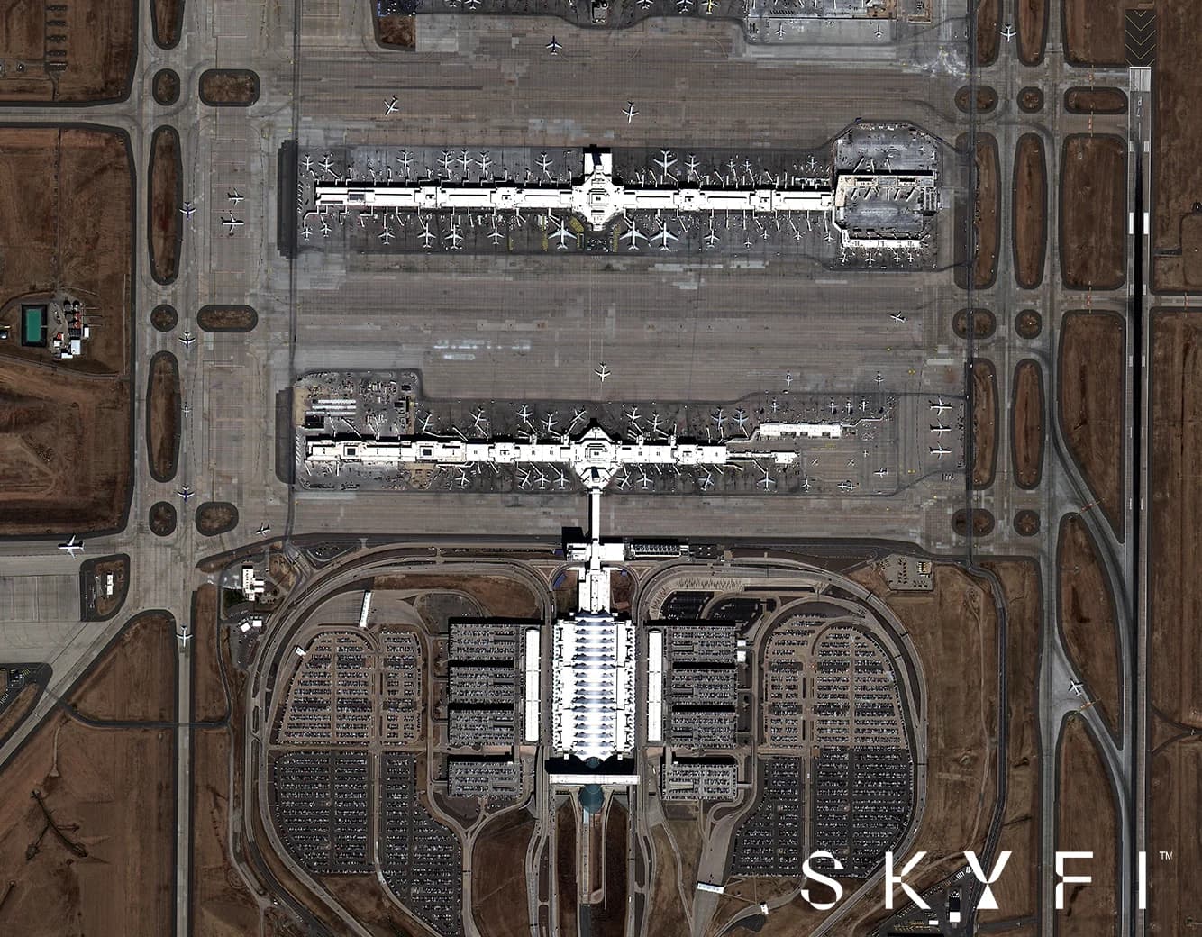
Given that energy markets are inherently global, monitoring the production, distribution and availability of energy in the oil and gas industries becomes speculative without the use of reliable data sources like satellite images. Transforming this data from satellites into insights allows investors to anticipate global trends thanks to accurate foundational information. Whether it is tracking oil barrels, well pads, storage tanks or delivery pipelines, daily high-resolution satellite imagery provides a mechanism to track movements and changes on a daily basis, serving as unparalleled, unbiased intelligence for hedge funds managers and energy traders.

5. Economic Indicators
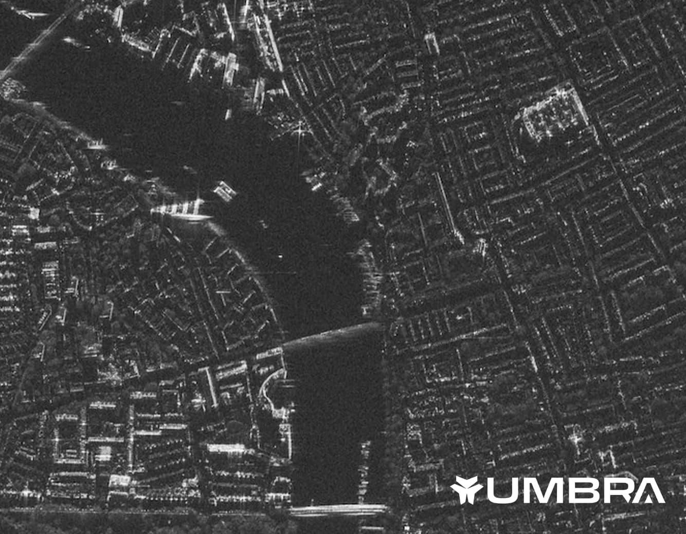
Major global events such as disasters and conflicts have a huge impact on national and sometimes, global economies. While some macro events can be anticipated, tracking them in near real-time is almost impossible without satellite imagery. Immediate access to such data provides a bird’s eye view of the state of the event allowing hedge funds to make long-term bets. Likewise, economic indicators from developing countries are dependent on models that include potential gaps, which can be circumvented through uses of innovative satellite data such as those collected at night-time which could provide an indication of economic activity - serving as crucial information for investors.

Using Satellite Imagery
While the section above detailed some key use cases of satellite imagery for finance, applying this emerging technology can take three different approaches, as presented in the figure below.
Imagery On Demand: Satellite images can be ordered on demand on an a la carte basis, with the choice of various providers, providing access to imagery that can then be used to observe an area of interest on any given day. This approach is particularly relevant for use cases where the interpretation of signals from the visual data can be done manually. For instance, this model can be applied to any of the use cases detailed above, for cases in which immediate understanding and validation of ground level truth might be necessary, through a few satellite images.
Bulk Ordering: Unlike the previous approach, where only a few satellite images over an area of interest were enough to serve its purpose, bulk ordering, for instance, through an API, allows the download of a series of images that can be potentially useful in understanding changes over a period of time. A compatible storage solution might be necessary in order to efficiently process and interpret signals from the set of images. This model becomes highly relevant where comparison of different images, sometimes from different service providers and sensors, might be necessary to derive the required insights.
Actionable Insights: The final approach is focused on receiving actionable, contextualized intelligence where the visual layer of understanding and processing satellite imagery is abstracted away, such that the decision making can be rapid based on derived analytics of the data. For instance, this model would focus on the consumption of standard sets such as numbers, indices and percentage change values based on satellite imagery that can then be used to make informed predictions.
Outlook
In this evolving landscape, SkyFi is at the forefront of providing easy access to satellite imagery and empowering users with actionable insights. With its user-friendly platform and comprehensive data offerings, SkyFi is revolutionizing how businesses across industries harness the power of Earth observation. We invite you to download the app or access the web app today to experience the seamless and intuitive interface that SkyFi offers.