
SAR Imagery 101
Did you know you can task Umbra's SAR constellation or access its open and archive data through the SkyFi app? Umbra's open SAR data is completely free and a great way to start learning.
Synthetic Aperture Radar (SAR) has broadened the horizons of Earth observation imagery by creating specialized images of the Earth's surface in areas where it may not be possible using conventional optical satellites. SAR imagery has proven valuable for a wide range of applications, from agriculture monitoring to natural disaster management. We’re incredibly excited to help bring SAR imagery into the mainstream, but it’s important to understand how it works and what to expect.
What is SAR?
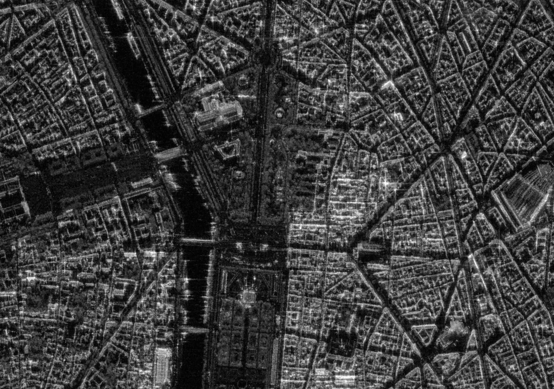
SAR uses microwave signals to create images of the Earth's surface by transmitting many pulses of microwave energy towards the surface and then measuring the time it takes for the pulses to bounce back to the satellite. The resulting data is processed to form an “image” of the Earth that is quite different from an optical image. As SAR images are not affected by the visible light spectrum, they deliver in grayscale, rather than color.
Why would I use SAR rather than optical imagery?
The primary reason to use SAR rather than optical imagery is SAR’s ability to penetrate materials that may block visibility in an optical image, like clouds, vegetation, ice, snow, and even smoke. SAR images can also reveal information about the surface roughness and moisture content of the Earth's surface, which can be challenging to capture using other types of imagery. While more complicated than optical imagery, these unique characteristics open up a wide range of use cases that are difficult or impossible with standard optical imagery.
Key considerations when working with SAR
When working with Synthetic Aperture Radar (SAR) images, there are several characteristics that you should expect to see. SAR images can be more difficult to interpret than optical imagery due to their different appearance and the complex interactions between the radar signal and the Earth's surface. However, with proper processing and interpretation techniques, SAR images can provide valuable information about the Earth's surface and its changes over time.
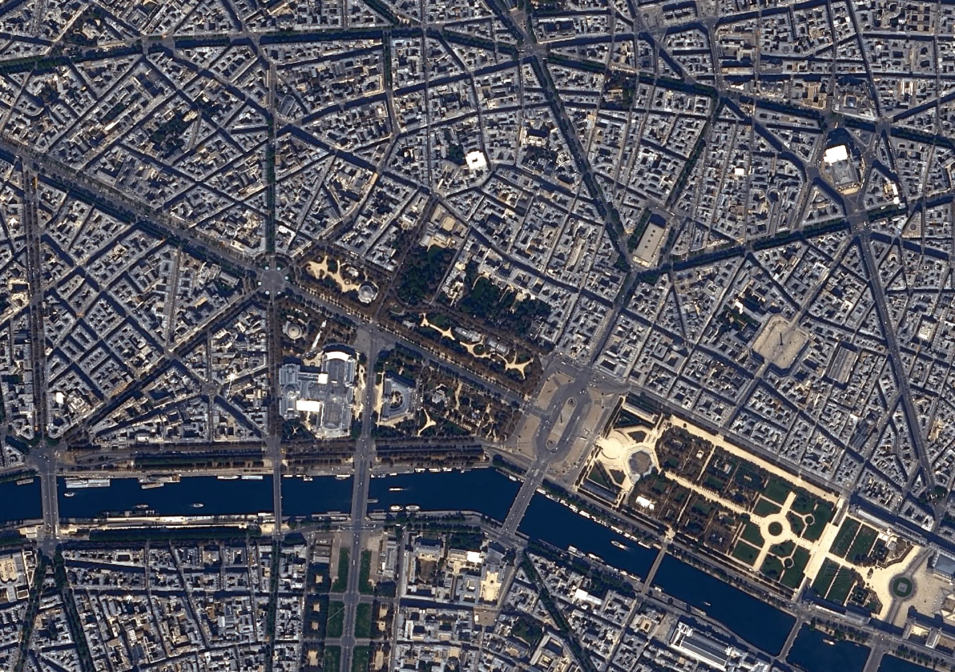
Different Appearance than Optical Imagery: SAR images will look quite different than optical images as they will appear black and white instead of colored, because of the way in which they are formed. Within these grayscale images, brighter areas indicate higher microwave reflectivity and darker areas indicate lower reflectivity. Additionally, because SAR interacts with surface roughness, texture, and structural angles, objects with strong angular features and geometric shapes will often appear prominent in the image while smooth areas, such as water, will provide little radar return.
Speckle Noise: SAR images are often affected by a type of noise called speckle, which appears as small, bright and dark spots scattered throughout the image. Speckle is caused by interference of the radar signal as it bounces off the Earth's surface.
Geometric Effects: SAR images are generally acquired by a satellite looking to the side, rather than straight down, which can result in shadowing effects. As such, areas behind tall objects or steep terrain are not illuminated by the radar signal and appear as dark areas in the image. This can make it difficult to interpret features in the image and requires careful analysis and interpretation. The images are also typically oriented with the shadows down, which may make the image appear to be “upside down” or “on the side” from what you’d see in an optical image, which is oriented with “north up.” Depending on the illumination angle of the satellite, images may also be impacted by a layover or foreshortening effect, which can cause additional complexities when looking at tall objects.
What Can SAR Satellite Imagery be Used For?
While the use cases for SAR imagery are practically endless, here are a few examples:
Agriculture: monitor crop growth, detect changes in soil moisture, and identify areas of land that may be suitable for farming.
Disaster Monitoring: detect natural disasters such as earthquakes, landslides, and floods, and monitor their impacts on the Earth's surface.
Defense and Security: military and intelligence purposes, including surveillance, reconnaissance, and equipment identification.
Environmental Monitoring: monitor changes in land use and land cover, track deforestation and urbanization, and monitor changes in ice sheets and glaciers.
Maritime Monitoring: monitor ocean currents, detect oil spills, and identify ships and other vessels.


